Site Survey & Land Feasibility Services
Professional site survey and land feasibility services across India using advanced equipment.
— SURVEY SERVICES
Site Survey & Land Feasibility Services
Heaven Designs provides comprehensive site survey and land feasibility services across India. Our expert surveyors use advanced equipment to deliver accurate topographic data, soil analysis, and feasibility reports essential for solar project planning.
Request a Survey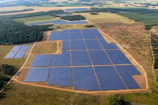
— WHAT WE COVER
Key Points
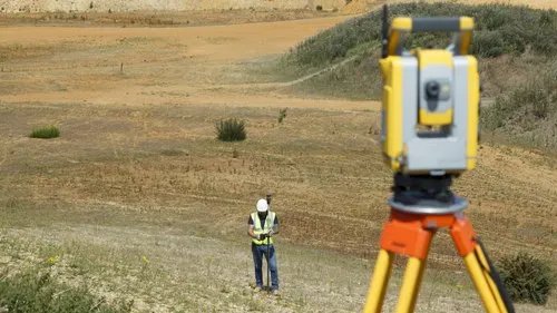
Contour Mapping Survey — Across India
Professional topographic surveys using advanced GPS and total station equipment. Generates accurate contour maps essential for solar farm layout design and grading plans.
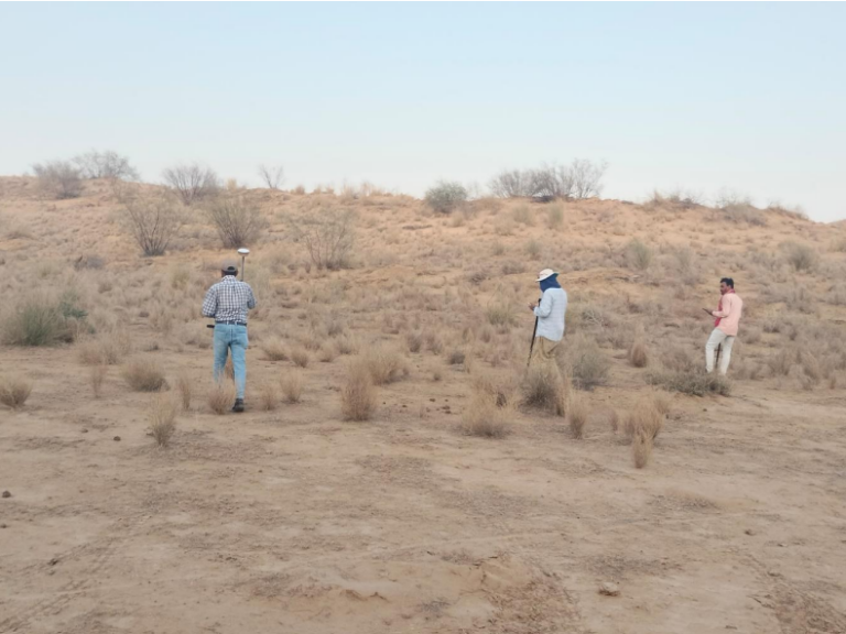
Soil Test, Earth Resistivity & Geo-Technical Reports
Comprehensive soil testing, earth resistivity measurements, and geo-technical reports to support foundation design for solar structures.
Our Gallery